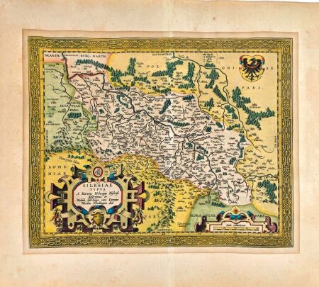


NOWY GLOBUS MANGA Posen Warschau. Pierw...
 Exists

VAUGONDY; FORTIN- INSTITUTIONS GEOGRAPHI...
Exists
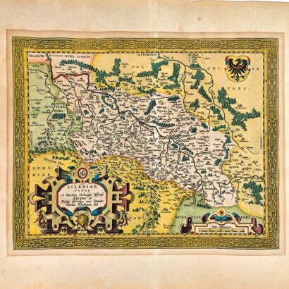
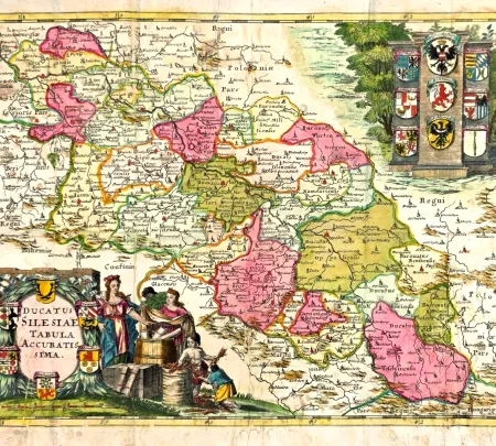
[MAPA ŚLĄSKA] ORTELIUS Abraham - DUCATUS...
Exists

EDER, SOMMER - PROSPECT DER STADT WARSCH...
Exists

MERIAN- STETTIN [SZCZECIN] 1652r.
Exists
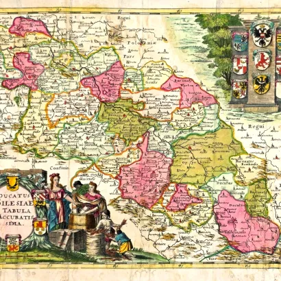
[MAPA ŚLĄSKA] PFEFFEL Johann Andreas – D...
Exists
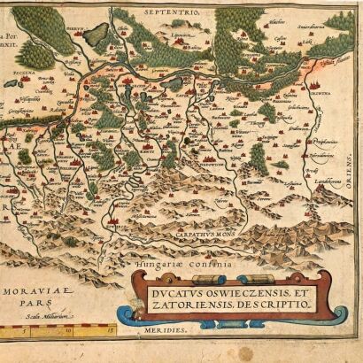
[MAPA KSIĘSTWA OŚWIĘCIMSKO-ZATORSKIEGO] ...
Exists

MERIAN- PROSPECT DESS AMBTS ZEHDEN [CEDY...
Exists


MERIAN- DRAMBURG [DRAWSKO POMORSKIE] 165...
Exists

MERIAN- STATT CUESTRIN [KOSTRZYN NAD ODR...
Exists


Maps and Views – Old Cartography and Historical Panoramas
Maps and views is a category dedicated to old cartography, historical representations of cities, and graphics documenting the changing image of Polish lands and Europe. The offer of the Sobieski Antiquarian Bookshop includes historical maps, old atlases, city plans, panoramas, prospects, and engravings depicting towns, monuments, and landscapes. It is a proposal for collectors, history enthusiasts, regionalists, and people looking for original objects with documentary, historical, and decorative value.
Old Maps and Atlases
Old maps are a testimony to the development of geographical knowledge, political changes, and ways of representing the world in successive eras. Among the sought-after objects are historical maps, geographical and administrative maps, city plans, and atlases documenting state borders, the course of old routes, and the development of settlements. Their collectible value depends, among other things, on the author and publisher, publication date, rarity of the edition, condition, and graphic qualities.
Maps of Polish Lands
A special place in old cartography is occupied by maps of Polish lands, depicting the areas of the former Commonwealth, the Kingdom of Poland, the Grand Duchy of Lithuania, and regions historically connected with Poland. These maps document border changes, administrative divisions, and the development of knowledge about individual lands. They are an interesting collectible item both for lovers of Polish history and for people researching the history of specific cities, regions, and families.
Old City Views and Panoramas
Historical city views, panoramas, prospects, and engravings allow us to see how architecture, street layouts, fortifications, and characteristic buildings were depicted in the past. Collectors are particularly attracted by representations of cities within their historical borders, old panoramas, and engravings with high artistic value. Hand-colored prints are an interesting variety of old graphics, combining iconographic value with the individual character of the work.
Old Cartography and Collectible Graphics at Sobieski Antiquarian Bookshop
When choosing maps and views, not only the subject and place depicted on the print are important, but also its origin, dating, technique, authorship, and condition. In the case of old maps, completeness, possible losses and repairs are also significant, and for colored copies – the nature and quality of coloring. The description of individual objects allows you to learn their most important features and consciously select items for a private collection, library, or interior.
Sobieski Antiquarian Bookshop offers old maps, atlases, and views for people interested in the history of cartography, city iconography, and collecting antique graphics. We invite you to familiarize yourself with the current offer and discover objects that document the old image of the world.
 Polish